
Community
Winter Storm Warning issued for much of the area
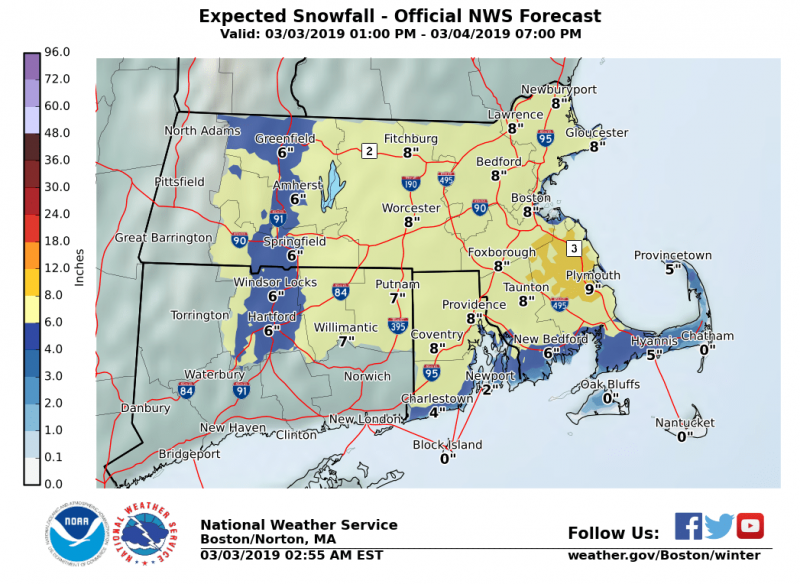
The forecasted snow totals have increased for this next storm, leading to a Winter Storm Warning according to the National Weather Service.
WINTER STORM WARNING FROM 7 PM THIS EVENING TO 10 AM MONDAY…
* WHAT…Heavy snow. Total snow accumulations of around 5 to 7 inches expected.
* WHERE…Portions of northern Connecticut, western, central, eastern, northeastern, and southeaster Massachusetts, as well as all of Rhode Island.
* WHEN…From 7 PM this evening to 10 AM EST Monday.
* ADDITIONAL DETAILS…Travel could be very difficult. The hazardous conditions could impact the morning commute.

PRECAUTIONARY/PREPAREDNESS ACTIONS…
A Winter Storm Warning for snow means severe winter weather conditions will make travel very hazardous or impossible. If you must travel, keep an extra flashlight, food and water in your vehicle in case of an emergency.
The forecast:
Tonight
A chance of rain before 8pm, then rain and snow likely between 8pm and 9pm, then snow after 9pm. Low around 32. Light and variable wind becoming north 9 to 14 mph in the evening. Chance of precipitation is 100%. New snow accumulation of 5 to 9 inches possible.
Monday
A chance of rain and snow before noon, then a slight chance of rain between noon and 2pm. Cloudy, then gradually becoming mostly sunny, with a high near 39. North wind 11 to 16 mph becoming northwest in the afternoon. Chance of precipitation is 40%. New snow accumulation of less than a half inch possible.


You must be logged in to post a comment Login