

Community
Snow and ice expected this week would make a messy commute
Weather is expected to be headed our way that could make for a messy commute later in the week.
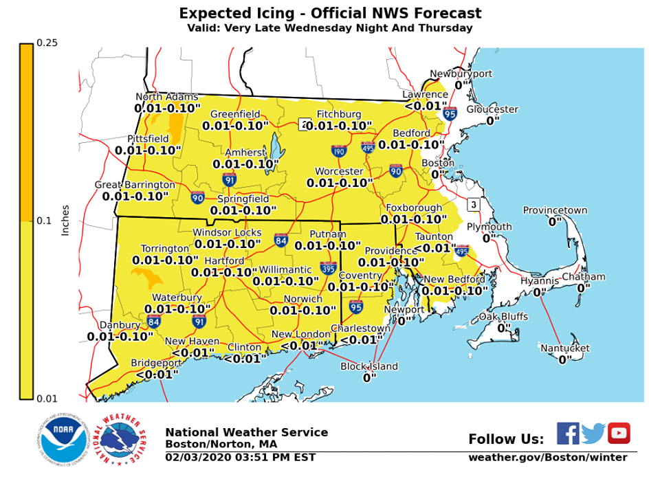
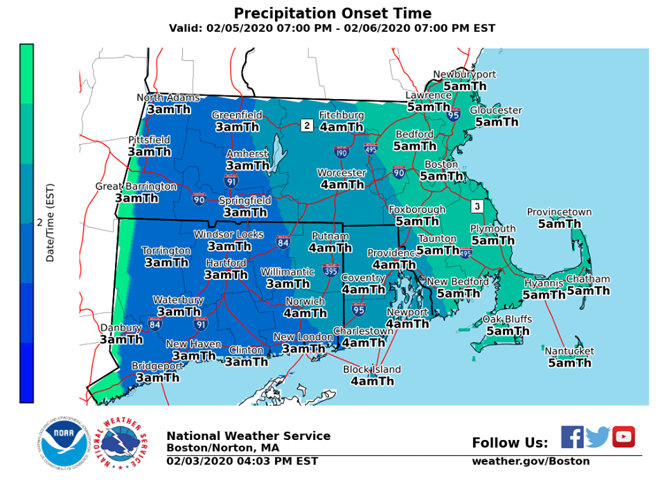
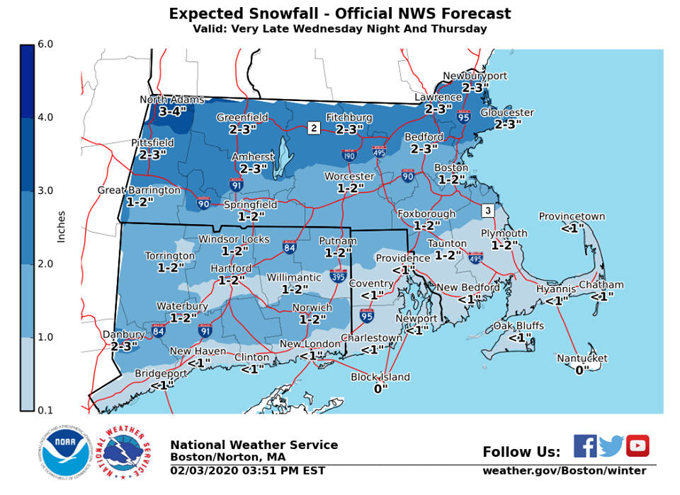
According to the National Weather Service, a wintry mix will overspread the region in time for the Thursday morning rush hour. While this does not look to be a big storm, untreated roads will likely be slippery for the Thursday morning commute, especially northwest of the I-95 corridor.
The forecast:
Tuesday
A chance of rain, mainly before 4pm. Cloudy, with a high near 46. Calm wind becoming southwest around 6 mph in the morning. Chance of precipitation is 40%.
Tuesday Night
A chance of rain, mainly after 9pm. Mostly cloudy, with a low around 37. Southwest wind around 5 mph becoming calm. Chance of precipitation is 40%.

Wednesday
A chance of rain before 1pm, then a slight chance of rain after 4pm. Mostly cloudy, with a high near 43. North wind 5 to 8 mph. Chance of precipitation is 40%.
Wednesday Night
Snow likely, mainly after 3am. Mostly cloudy, with a low around 27. Northeast wind around 6 mph. Chance of precipitation is 60%. New snow accumulation of less than one inch possible.
Thursday
Snow, possibly mixed with rain, becoming all rain after 11am. High near 43. East wind 6 to 9 mph becoming southeast in the afternoon. Chance of precipitation is 80%. New snow accumulation of 1 to 2 inches possible.
Thursday Night
Rain likely. Cloudy, with a low around 38. South wind around 5 mph becoming light and variable. Chance of precipitation is 70%.
Friday
Rain likely, mainly before 11am. Cloudy, with a high near 49. Southwest wind 6 to 10 mph. Chance of precipitation is 70%.


You must be logged in to post a comment Login