

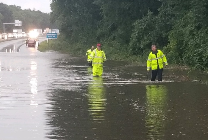
Massachusetts, Connecticut, and Rhode Island are expected to see wet and unsettled weather, according to the National Weather Service.
The forecast calls for continued above-normal temperatures before cooler conditions arrive Sunday and beyond. Ensemble guidance indicates the end of a highly anomalous dry stretch by Thursday, kicking off a period of 36 to 48 hours of periodic rainfall that could be heavy at times.
An approaching front extending from a trough of low pressure crossing the Great Lakes is expected to move through New York state before stalling across New England from southwest to northeast late Thursday. This is forecast to bring an initial round of rain chances for Thursday, mainly for western areas of southern New England, while much of the region southeast of a line from Bradley International Airport to Worcester may remain dry.
A more widespread and heavier rainfall is then expected for Friday into early Saturday as a secondary low pressure forms along the front. The low is forecast to deepen as it lifts north in the vicinity of Cape Cod on Saturday, and then even more so over the Gulf of Maine on Sunday, by which time the region is expected to be on the drier side of the system.
There will be a lot of moisture for the system to work with, as persistent moist southwest flow ahead of the upper trough pulls in precipitable water values over 1.5 inches and dewpoints into the lower 60s. This is expected to lead to very warm conditions Friday morning, with temperatures in the lower 60s, and to provide fuel for stronger dynamics. Elevated dewpoints are forecast to generate some instability, allowing for convection that could contribute to localized downpours. Additional lift is expected from convergence around the low and placement beneath the right-rear quadrant of a 105-knot upper-level jet.
The exact placement of the heaviest rainfall will not be fully determined until closer to the event, as it depends on where the front stalls. Ensemble guidance is generally calling for 1 to 3 inches of rainfall, with the European ensemble showing a 50-60% chance and the American ensemble a 30-40% chance of 1 inch or greater rainfall, centered over central and eastern southern New England.
Because the region has been very dry, flash flood guidance is high. Flash flooding is not expected to be an issue, though some poor drainage and urban flooding is possible, especially with leaves blocking drainage this time of year. A marginal risk is noted in the Excessive Rainfall Outlook for Friday into Saturday.