

Community
National Weather Service issues update on Tuesday, Wednesday weather
The National Weather Service has issued a 7:30 p.m. update that makes a slight change concerning when snow could begin which could have a greater impact on the evening commute.
Rain will likely change to a brief period of snow across much of the region Tuesday as a strong cold front crosses the region. Snow accumulations of a coating to 1 inch are expected. There also is a low risk for a brief period of light freezing rain across portions of the interior, which if materialized would require a Winter Weather Advisory.
Snow is now expected to begin a little sooner in Southern New England which could make our commute home Tuesday a little more messy.
The forecast:

Tuesday
Rain before 4pm, then a chance of snow. Patchy fog between 3pm and 4pm. Temperature rising to near 55 by 9am, then falling to around 33 during the remainder of the day. Southwest wind 7 to 11 mph becoming northwest in the afternoon. Winds could gust as high as 28 mph. Chance of precipitation is 80%. New snow accumulation of less than a half inch possible.
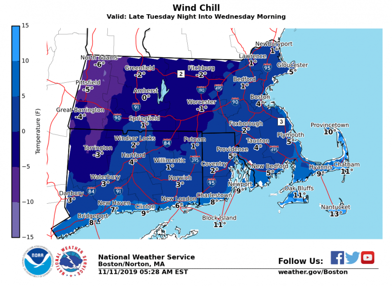
Tuesday Night
Mostly cloudy during the early evening, then gradual clearing, with a low around 17. Northwest wind 11 to 14 mph, with gusts as high as 31 mph.
Wednesday
Sunny, with a high near 32. Northwest wind 8 to 14 mph, with gusts as high as 29 mph.
Wednesday Night
Mostly clear, with a low around 18. Northwest wind around 5 mph becoming calm in the evening.


You must be logged in to post a comment Login