

Community
Ice, snow, sleet, freezing rain headed our way in the coming days
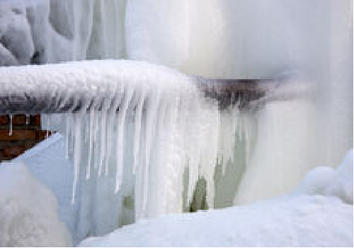
Get ready to see a mixture of rain, freezing rain, sleet, snow, and ice in the next 7 days beginning tonight.
According to the National Weather Service, a weak system will bring some light snow/sleet that will overspread the south coast this evening then push northward.
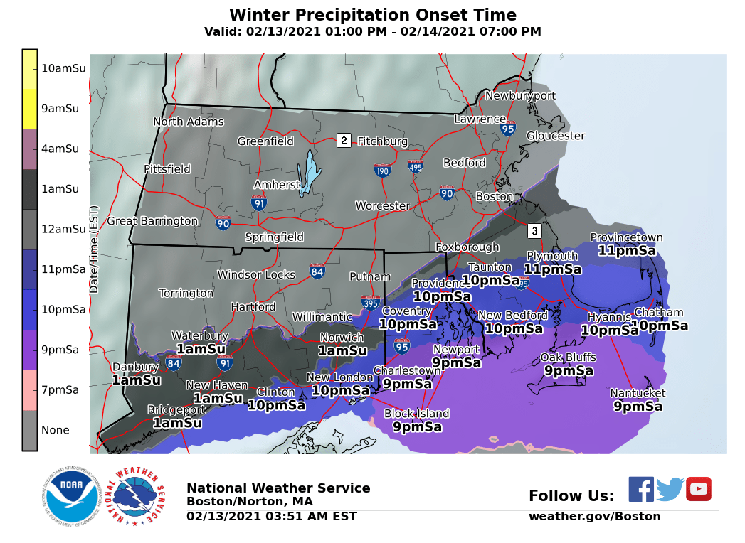
While snow accumulations are expected to only be a coating to an inch, the greater concern is for patchy freezing drizzle later tonight with some untreated roads possibly becoming slippery.
Tonight isn’t the only time to watch out for snow, freezing drizzle, sleet or a combination of the three in the coming days.

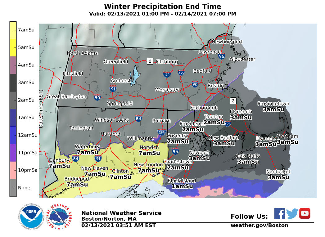
On Sunday, patchy snow, freezing drizzle/sleet before 3pm is expected, then patchy drizzle/sleet between 3pm and 5pm, and then a slight chance of rain and sleet after 5pm.
Sunday night, a slight chance of rain or freezing rain before midnight is forecast, then a slight chance of freezing rain/sleet between midnight and 2am, then a slight chance of rain or freezing rain after 2am.
Monday, a slight chance of freezing rain and sleet before 8am is possible, then a chance of rain.
On Tuesday, rain or freezing rain is expected before 4pm, then a chance of rain/sleet between 4pm and 5pm, then a chance of rain, freezing rain, and sleet after 5pm. There is a chance of snow and sleet before 7pm.
Thursday, snow is likely, possibly mixed with sleet. On Thursday night, rain and snow is likely, possibly mixed with freezing rain and sleet.
Lastly, on Friday, rain is likely.


You must be logged in to post a comment Login