
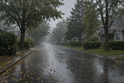
Massachusetts, Rhode Island, and Connecticut are expected to see heavy rains, strong winds, and in some areas, temperatures near freezing.
According to the National Weather Service, a low-pressure system is expected to bring rain Friday into early Saturday. Gusty northwest winds and below normal temperatures are expected to be left in its wake.
A strong northern stream shortwave trough is expected to shift across the Great Lakes and into the northeast Friday into Saturday. The overall consensus across the deterministic and ensemble guidance is that the surface low sets up across western NY and southeastern Ontario by Friday morning, with rain moving into southern New England at this same time.
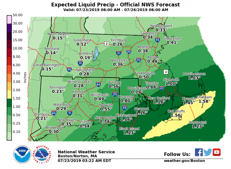
Ensemble guidance has a bit more agreement this morning regarding rainfall totals, generally ranging between 0.4-0.7″. Across all ensembles, some higher probabilities of totals reaching or exceeding 1.0″ exist over parts of central and western MA, especially towards the Berkshires.

Following this rainfall, a strong cold front is expected to push through the region Saturday morning. Lows Friday night fall into the 40s and upper 30s, with the higher elevations likely falling below to at freezing. Highs Saturday may struggle to reach the low 50s across the interior and lows Saturday night will likely dip below freezing across the region based on the latest ensemble probabilities, with the exceptions being areas closest to the coasts and urban areas. Though, those areas will likely be sitting just around/above freezing overnight.
In the midst of this colder air, strong NW winds prevail, gusting well into the 30 mph range with some gusts to 40 mph not to be ruled out. We could see some breezy or gusty southwest winds. Gusts could range between 25-35 mph, with higher gusts possible for the Cape and Islands.
High pressure builds in Sunday and a more seasonably cool airmass moves into the region, with winds expected to let up as well.