Community
Strong to severe thunderstorms possible across Southern New England Saturday

Some stormy weather could be headed our way this afternoon and early evening.
According to the National Weather Service, a cold front will bring the potential for a few strong to severe thunderstorms this afternoon and evening…mainly between 1:00 and 7:00 p.m. The greatest risk will be towards the I-95 corridor, including the Boston to Providence metropolitan areas.
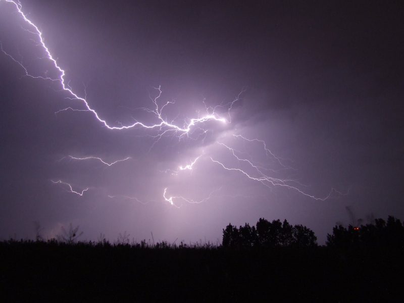
The main threat will be localized strong to damaging wind gusts and brief torrential rainfall with the strongest storms. Dangerous cloud to ground lightning will also be possible.
Those with outdoor plans this afternoon should be on the lookout and be prepared to seek an indoor shelter if threatening weather approaches.
UPDATE: Severe Thunderstorm Watch in effect for most of southern New England until 8:00 p.m.
[6 AM Update] A few thunderstorms will move through this afternoon bringing the threat of strong to damaging winds. The timing of this line of showers/thunderstorms will be generally 1 PM to 7 PM. Here's a look at the expected timing of this afternoon's showers and thunderstorms. The greater threat of thunderstorms will be toward the Providence-Boston corridor.
Posted by US National Weather Service Boston MA on Saturday, June 6, 2020


You must be logged in to post a comment Login